Maps

J. van. Loon & Andreas Cellarius, Sitvs terrae circvlis coelestibvs circvndatae, 1660, nla.gov.au/nla.obj-230714394
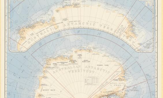
Australia. Department of the Interior. Property and Survey Branch. & E. P. Bayliss, J. S. & Cumpston, Antarctica, 1939, nla.gov.au/nla.obj-236895938
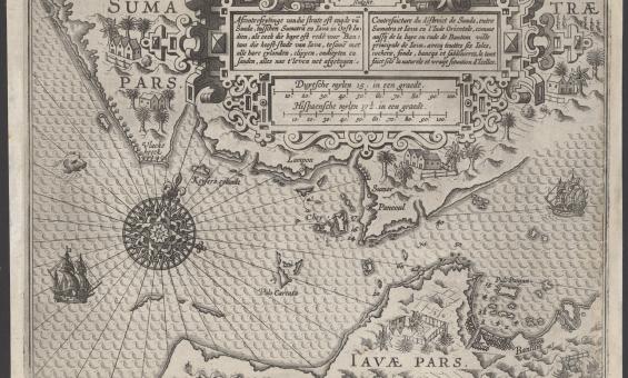
Lucas Janszoon Waghenaer, Afconterfeytinge van die strate oft engde van Sunda, tusschen Sumatra en Iava in Oost Indien, als oock die baye oft rede voor Bantam die hooft-stadt van Iava, tesamen met alle hare eylanden, clippen, ondiepten en sanden, alles nae t' leven net afgetogen, c.1602, nla.gov.au/nla.obj-3444422116
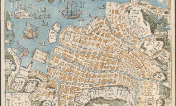
Shinsen Nagasaki no zu, 1801, nla.cat-vn3644559

Australia. Army. Topographical Survey Company, 2/1st & Australia. Army. Topographical Survey Company, 6th & Australia. Army. Royal Australian Survey Corps. Gordonvale, Queensland Topographical Survey Company, 1942, nla.gov.au/nla.obj-234344829

John Cary, William Cary and Jean Baptiste Bourguignon d'Anville, Cary's pocket globe agreeable to the latest discoveries, 1791, nla.gov.au/nla.obj-234207821

Thomas Ham, Blundell and Ford, The squatting map of Victoria, 1864-1865, nla.gov.au/nla.obj-231392173


Great Britain. War Office. (1942). New Caledonia, nla.gov.au/nla.obj-233403296

Jan Jansson & Hendrick Doncker, Mar di India, 1659, nla.gov.au/nla.obj-230757141

Bijin Shinobazunoike o nozomu, Beauty looking at Shinobazu Pond (1895), nla.gov.au/nla.cat-vn5744665