Digital Classroom
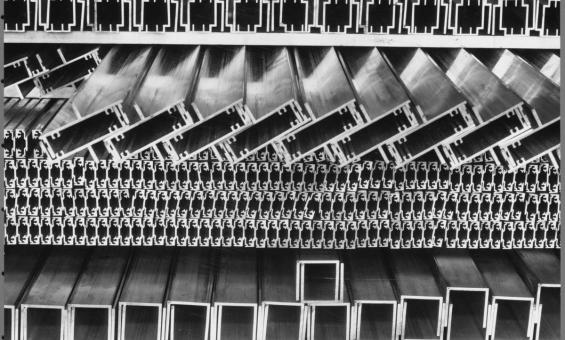
Sievers, Wolfgang, 1913-2007. (1965). Aluminium profiles at Comalco's plant at Yennora, New South Wales, 1965, 3 [picture] / Wolfgang Sievers. nla.gov.au/nla.obj-160295127
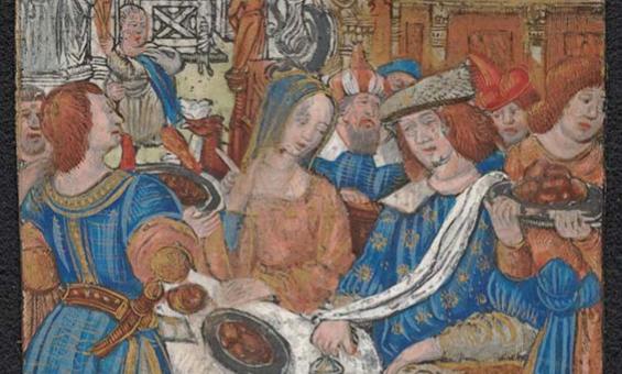
PIC MSR 14/8/2 #PIC/14340/1-51-Early Flemish, German, Italian, Spanish, French woodcuts, nla.gov.au/nla.obj-2902124119
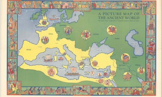
Ellis Luciano Silas & Evans Brothers Ltd, (1939), A picture map of the ancient world / specially painted by Ellis Silas, nla.gov.au/nla.obj-2378561352
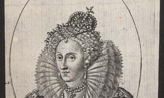
(1600). Elizabetha D.G. Regina Ang. Fran. et Hib., nla.gov.au/nla.obj-136050723
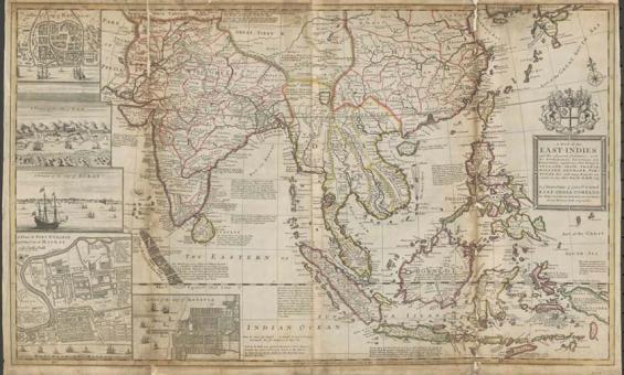
Herman Moll & William Dampier, Collection of voyages. (1729). A map of the East-Indies and adjacent countries [cartographic material] : with settlements, factories, and territories : explaining what belongs to England, Spain, France, Holland, Denmark, Portugal, etc. with many remarks not extant in any other map / by H. Moll, geog. nla.gov.au/nla.obj-231221936
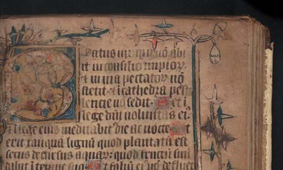
Detail from (1330). Illuminated Psalter, 1330-1350 [manuscript]. nla.gov.au/nla.obj-182166477
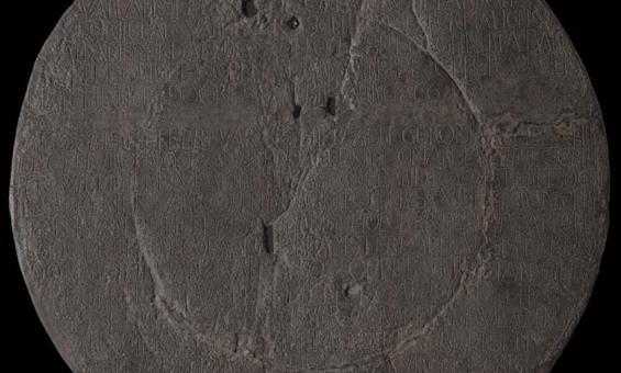
(1950). [Replica of the Vlamingh Plate] [realia]. nla.gov.au/nla.obj-135734827
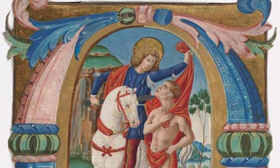
([14--?]). Early Flemish, German, Italian, Spanish, French woodcuts. /Item PIC/14340/41,. nla.gov.au/nla.obj-2902124787
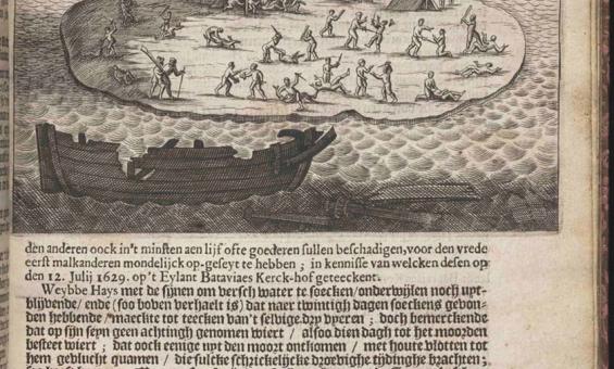
Francisco Pelsaert, Ongeluckige voyagie van't schip Batavia na Oost-Indien uyt-gevaren onder de E. Franç̧ois Pelsaert : gebleven op de Abriolhos van Frederick Houtman op de hooghte van 28 en een half graden by Zuyden de Linie Equinoctiael : vervattende 't verongelucken des schips, en de grouwelijcke moorderyen onder 't scheeps-volck, op't eylandt Bataviaes Kerck-hoff nevens de straffe der handtdadigers in de Jaren 1628 en 1629 ; hier achter is by- gevoeght eenige discourssen der Oost-Indische Zee-vaert als mede de gantsche gelegentheyt der Koopmanschappen diemen in Indien doet. t' Utrecht : Lucas de Vries, Boeck-verkooper in de Snipper-vlucht, nla.gov.au/nla.obj-39984464
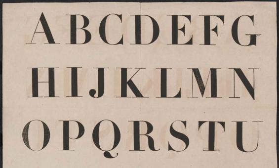
PIC MSR 14/8/2 #PIC/14340/1-51-Early Flemish, German, Italian, Spanish, French woodcuts. /Item PIC/14340/40., nla.gov.au/nla.obj-2902124765
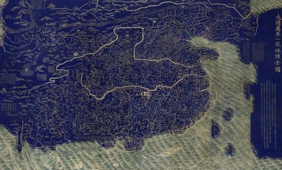
After Huang Qianren (1694–1771), Complete Map of the Everlasting Unity of the Great Qing (Da Qing wannian yitong dili quantu), Jiaqing period (1796–1820), National Library of China
